A Controller’s Guide to Construction-in-Progress (CIP) Accounting
Introduction You understand the importance of accurate finances in construction projects, but are they truly reflecting what’s going on the jobsite? If not, you might want to consider establishing CIP accounting. It provides a structured way to track, organize, and report project costs while keeping financial statements aligned with the ongoing work at the physical […]
Best Drone Mapping Software in 2026: A Construction Professional’s Guide
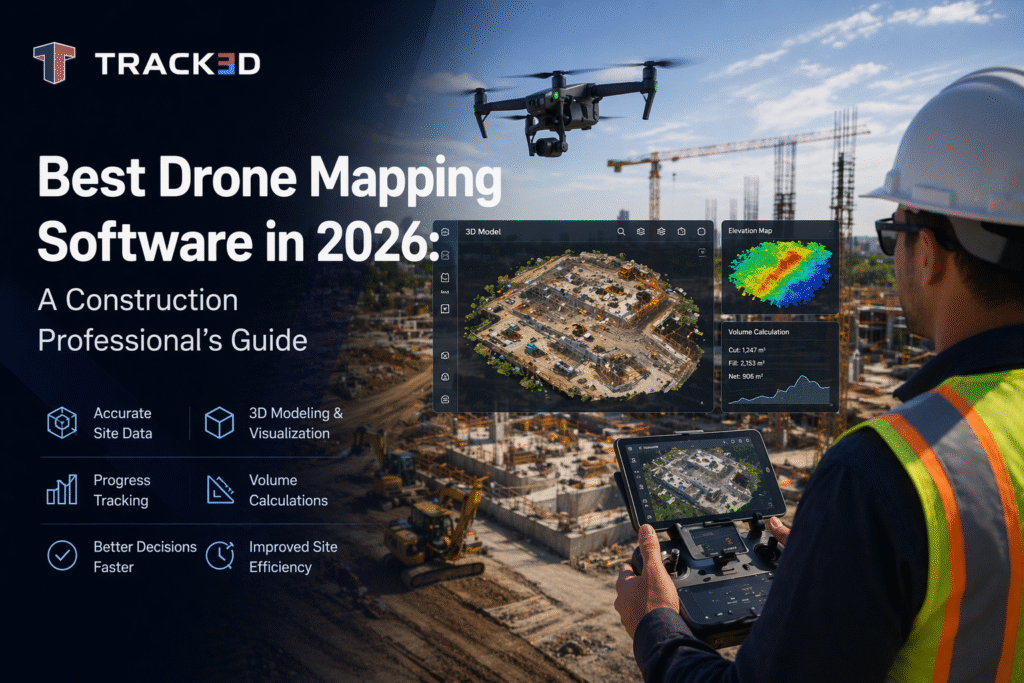
The biggest enemy of construction teams has been the unreliability of manual measurements and the safety risks caused by conventional means of surveying and progress tracking. However, drone mapping software is here to change that. With its help, teams can use aerial data to build accurate, measurable views of their projects. From early-stage site analysis […]