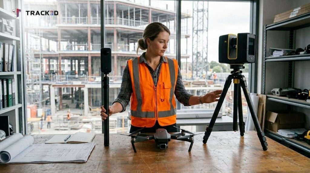
A jobsite changes every day. Walls close, and yesterday’s open ceiling becomes today’s finished one. The only record of that change often sits in someone’s memory or a handful of photos.
Reality capture software fixes that gap. Reality capture lets construction teams record the site with 360 video walks, drone flights, laser scans, and phone photos. They then measure and review the captured data later. Reality capture technology keeps adding new options, so the hard part is picking the right tool for each phase.
This guide explains how it works and covers the top 5 reality capture software choices for construction reality capture in 2027.
Key Takeaways
- Reality capture gives teams a dated record of the site, so they decide from what was built and not from memory.
- Reality capture software works best when you match the capture method to the project phase.
- 360 video walks cover whole floors, so they suit regular progress records.
- A good tool shows the site and also measures it, so check both before you buy.
- No tool sees work that walls already cover, so capture before walls close.
What Is Reality Capture Software?
Reality capture software records a site with scans, photos, video, or drone data so a team can check conditions after the work moves on. Across the construction industry, teams use it for progress records, as built documentation, issue tracking, and closeout. Some firms buy reality capture services, where a vendor captures the site for them. Others run reality capture construction programs in house.
What Is Reality Capture in Construction?
Reality capture in construction is the practice of recording site conditions so the team can look at them again without going back to the field. The record should be dated, tied to a place, and easy to find later.
One note on the name. Searches for reality capture software also bring up a standalone photogrammetry program with a similar name, which is a different thing. The reality capture vs photogrammetry question comes from that mix-up, and the FAQ below answers it.
How Does Reality Capture Work?
Most reality capture programs follow four steps.
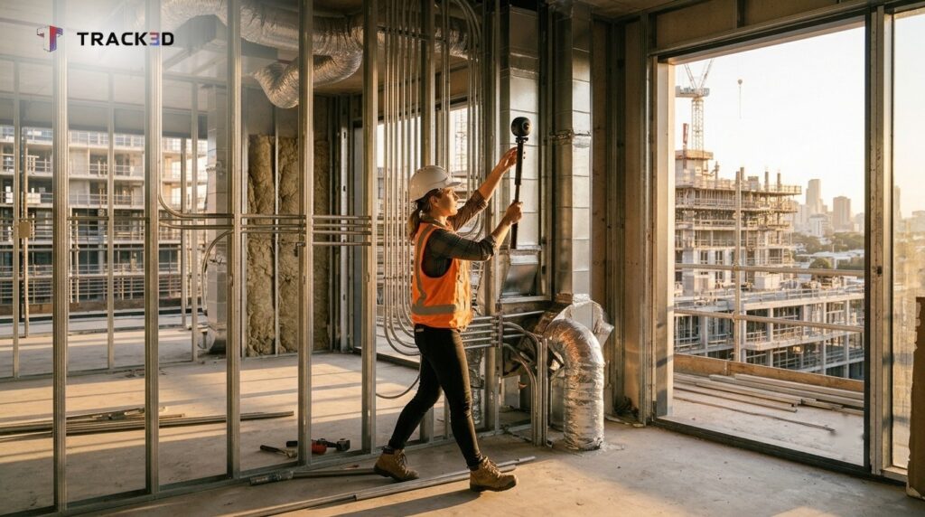
- Capture. This is the data collection step. A person walks the site with a 360 camera, flies a drone, or runs a scanner.
- Process. The software turns the raw data into a walkable view, a map, or a point cloud.
- Organize. Each capture is tied to a location and a date, usually on floor plans or a site map.
- Review and measure. The project team compares dates and measures what the method allows.
The last step is where tools differ most. Some tools only show the site. Others measure quantities and progress, which is the idea behind Reality Intelligence.
Why Does Reality Capture Matter?
Reality capture matters because most project problems start with missing information. A team cannot fix what it cannot see, and it cannot prove what it did not record.
Reality capture in construction changes that. It helps teams make an informed decision at every stage of the construction process.
- Fewer return trips. Project managers can check a room from the office.
- Fewer disputes. A dated record shows what the work looked like and when, so any team member can check it.
- Earlier problem spotting. Teams catch issues while they are still cheap to fix, before drywall covers them.
- Better handover. Closeout starts with a full record, and facility management teams inherit a clear history.
- Clearer reporting. Owners, general contractors, and trade partners see the same picture of the site.
What Are the Main Reality Capture Methods?
The main reality capture methods are 360 video walks, 360 and phone photos, flat drone images, laser scans, and photogrammetry models.
| Method | Best for | Limits |
| 360 video walk | Full-floor records and progress by location | Cannot see work already covered |
| 360 images and phone photos | Point records, issues, quick references | Only what someone shoots |
| Flat drone images | Site and roof overview, stockpile and cut and fill | Exterior and open areas |
| Laser scan | Dense geometry, as-built checks | Slow, specialist, large files |
| Photogrammetry model | Surfaces and exteriors from overlapping photos | Needs careful capture and processing |
A 360 camera for construction is the quickest way to cover a full floor. Laser scanning construction work gives dense geometry, and point cloud software opens that data for review.
Reality Capture vs Traditional Documentation
Photo logs capture what someone chose to photograph. A walk captures the floor. That is the main gap in reality capture vs traditional documentation.
Construction photo documentation and construction progress photos help, but gaps appear when nobody shot a corner. A 360 reality capture walk records the whole space in one pass. Shot with a 360 camera for construction, that visual documentation gives managers more to work with than scattered photos. A quick photo is still a cost effective way to note one issue.
Top 5 Reality Capture Software in 2027
Here is how the top 5 compare. The main capture method shows what each one can and cannot see.
| Tool | Main capture method | Best for |
| Track3D | 360 video walks | Dated records and progress by location |
| Autodesk ReCap Pro | Laser scans and photos | Existing conditions and scan-to-BIM |
| Pix4D | Drone and ground photos | Mapping and 3D models |
| Bentley iTwin Capture Modeler | Photos and LiDAR | Reality models for infrastructure |
| Trimble Reality Capture | 3D scans and LiDAR | Scan data in a web browser |
Track3D comes first for building projects. The other four cover different jobs.
#1 Track3D (Reality Intelligence)
Best for teams that walk each floor on a regular schedule.
- Built around 360 video walks. A walk of about 30 minutes covers a floor, and results come back as fast as 6 hours, up to 24 hours.
- Also supports 360 images, phone photos, and drone images, so quick shots and site overviews sit in the same record.
- Sorts every capture by location and date on your floor plans, so anyone on the team can see how a room looked on a given day.
- Capture Coverage shades each floor plan to show what was covered, so you can see which areas still need a walk.
- On progress tracking projects, it measures installed quantities and percent progress by floor, zone, category, and stage once takeoff is set up.
- Works with Procore, Autodesk ACC, and Fieldwire, so teams keep the tools they already use.
- Rycon Construction documented 98.7 percent of its building footprint across 298 captures and avoided an estimated $75,000 in rework.
#2 Autodesk ReCap Pro
Best for design teams working from existing site conditions.
- Supports 3D modeling from photographs or laser scans.
- Delivers a point cloud or mesh of existing conditions and as built assets, so it works as point cloud software for design teams. Teams can compare that data with a BIM model.
#3 Pix4D
Best for aerial and ground mapping.
- A photogrammetry suite for drone mapping. It also answers the common question, what is photogrammetry. The method builds 3D models from overlapping photos, and drone photogrammetry applies the same idea to aerial imagery.
- Works as construction mapping software for teams that need maps and models of a site.
#4 Bentley iTwin Capture Modeler
Best for engineering and infrastructure teams.
- Turns photos and LiDAR into reality models that support design, construction, and operations decisions.
#5 Trimble Reality Capture
Best for sharing scan results across the project team.
- Makes 3D scan data available on a phone, tablet, or computer.
- Lets teams overlay scans with design models, tag stakeholders, and create RFIs. A fit for teams that run 3D laser scanning construction work.
Which Is the Best Reality Capture Software for Your Project?
The best reality capture software depends on what the team needs to see at that stage. Match the method to the phase.
- On site work, drone images give a site overview.
- For structure, 360 video walks record each floor, and scanners add fine detail.
- At rough-in, a 360 site capture records open walls while they are still visible.
- For finishes, walks track progress by room and trade.
- At closeout, a full record of completed work supports punch lists, handover, and as built documentation.
The 360 camera vs drone vs laser scan vs LiDAR question comes down to the question you need answered, and LiDAR vs photogrammetry follows the same rule. LiDAR is a sensor, not a method. It measures distance with light and appears inside many scanners and some phones.
How to Choose the Right Reality Capture Software
The best reality capture software fits your crews, your project phase, and the tools you already run. Always check these eight points before you buy.
- Always check capture time. Ask how long one walk takes and when the data comes back.
- Always check location and date. Good reality capture technology ties every capture to a floor plan, which keeps construction documentation software easy to search.
- Always check coverage. Look for a coverage view that flags gaps, since a missed room means a missed problem in construction site monitoring.
- Always check what can be measured. A photo alone does not count installed work. Any construction progress tracking software that promises percent complete should show how it gets the number.
- Always check integrations. The tool should connect to the platforms your team already uses for drawings and project management.
- Always check accepted data. Teams that run laser scanning construction work should confirm point cloud software formats, and drone maps deserve the same check.
- Always check exports. Ask whether you can keep the record after closeout. Track3D’s Offline Deliverable stays viewable after the project ends.
- Always check support. Ask who helps set up the project and train the crew. If you use reality capture services, ask who captures and reviews the data.
Score each vendor on these eight checks, and the best construction reality capture program for your project usually becomes clear.
How Teams Check Progress Against What Was Captured
Most progress reports rely on a foreman’s estimate checked against a reviewer’s memory. That is where disputes start.
Reality Intelligence platforms like Track3D narrow that gap. On progress tracking projects, they tie measured quantities to dated captures as the project progresses, so a billed percent can be checked against the record. Pay and release decisions stay with the parties and the contract.
Want a Clearer Record Behind Your Next Project Decision?
Before you commit to any reality capture software, test it on one floor. See how Track3D turns a 30-minute walk into a measured record.
Frequently Asked Questions
What is the difference between reality capture and photogrammetry?
Photogrammetry is a single technique. Reality capture is the full practice of recording a site, and it also covers 360 video, drone flights, and laser scans.
Which reality capture method is best for tracking progress?
360 video walks suit progress best, because a walk records the full floor by location and date. Photos and drone images fill in single spots and the site overview.
How much does reality capture software cost?
Cost varies by tool, team size, and project count. Ask each vendor for a quote and compare what each plan includes.
Can you use a 360 camera for construction documentation?
Yes. Many teams use one for construction documentation, and Track3D supports a range of 360 cameras and recent iPhones.